Exploring “new” climbing areas has always been one of the many reasons why I love climbing so much.
Yesterday, John G. and I decided to make the long trip to what we know as the “Aerials” at Mt Evans. We didn’t have much information about it, or could find any regarding what has already been established.
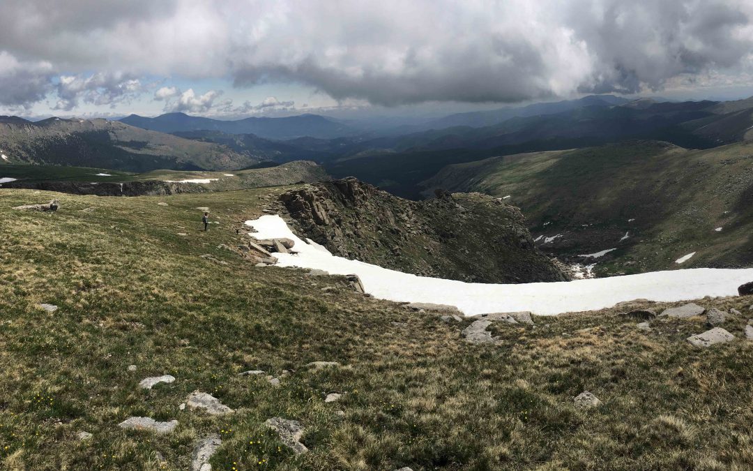
John and I started hiking down from the first big pull off after summit lake around 11:30am. We had a general idea as of where the hike goes, but had to make some adjustments on the go. The hike was quick to the end of the field until we had to start going downhill. My suggestion is to not hike to the aerials with people who get altitude sick, are afraid of heights or simply not in hiking shape. Very steep hike down and up. Close to what you would experience at the worst areas in Lincoln Lake but much longer. It took us about an hour to hike all the way down to the main area, with some rests and figuring out the way.
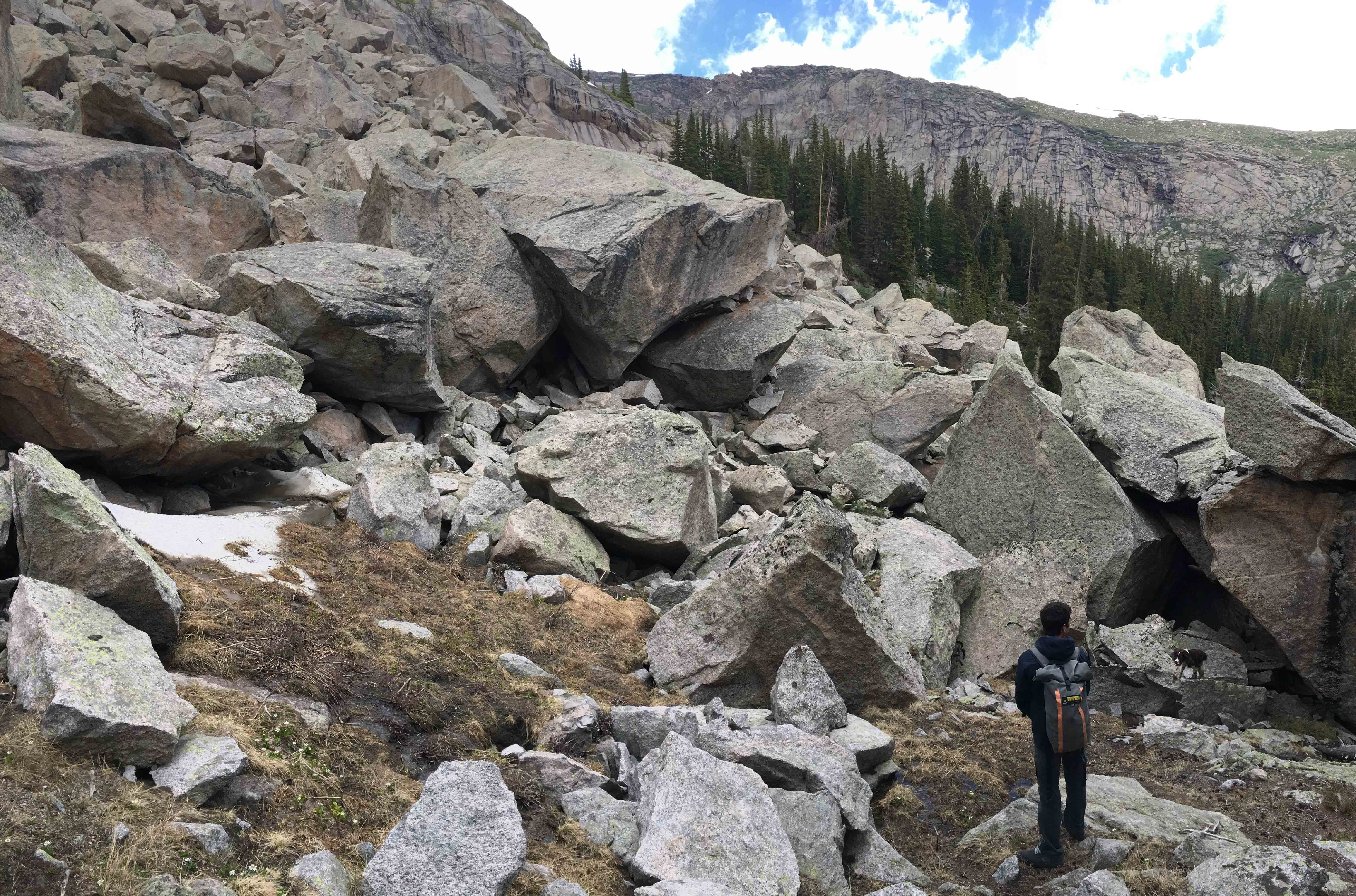
Once we made our way down to what would be considered the main area (highlighted in yellow circle in above’s image) we took a short break and started exploring. Most of the obvious lines were slightly cleaned but no idea to what is actually done and established.


 After all, the total adventure took about 5 hours, less than expected, considering we had to figure out the way down and up. We didn’t clean any boulders but saw a lot that would love to go back for. Please share any information you have and reply to this blog, hoping to get back there in the next few weeks and climb some new boulders! cheers


